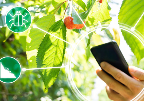
Cropview Platform
Cropview Platform Platform for visualize information Historical information and weather forecast Visualization of maps and diagnostics: Canopyscan – Satellitescan – Soilscan

Cropview Platform Platform for visualize information Historical information and weather forecast Visualization of maps and diagnostics: Canopyscan – Satellitescan – Soilscan
Performance prediction projects. High accuracy and very low error performance prediction project services, which is used by Canopyscan and/or Satellitescan technologies
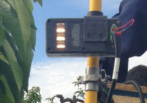
Canopyscan Detailed canopy monitoring service to generate vigor and chlorophyll maps. Uses active sensor: Emits its own light Measures reflectance at different wavelengths. Allows you to work at night Collects large amounts of data to generate NVDI (vigor) and NDRE (chlorophyll) indices Satellitescan Canopy monitoring service through satellite images Determine vegetation indices based on pixels:
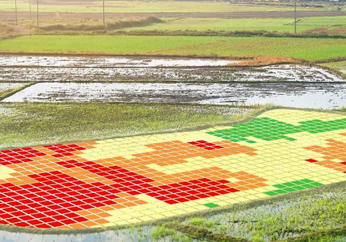
Soil mapping service that provide detailed insight into the properties and characteristics of the soil. • More than 20 maps with the Physical-Chemical properties of the soil. • Site-specific recommendations to correct the critical soil factors. • Large amount of data generation (>700 points/ha).